Log In/Sign Up
Your email has been sent.
0 Deaton Young Rd
Lexington, NC 27292
0 Deaton Young Road · Land For Sale
·
42.67 AC
Investment Highlights
- located on Old HWY 64
- Zoned RA2, ideal for residential subdivision development
- Surrounded by retail, parks, and community amenities
- Located just 2.5 miles from Interstate 85 for regional access
- Public water available to site, reducing infrastructure costs
- Positioned near High Rock Lake and Lexington’s core
Executive Summary
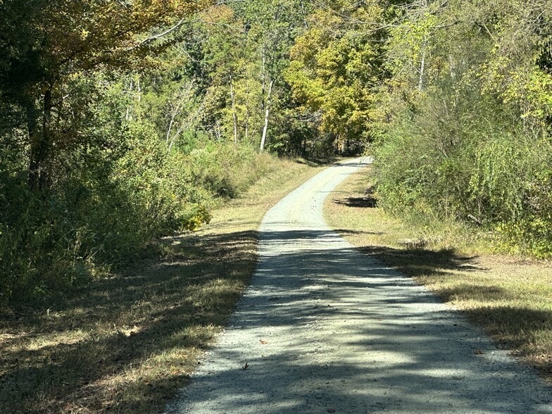
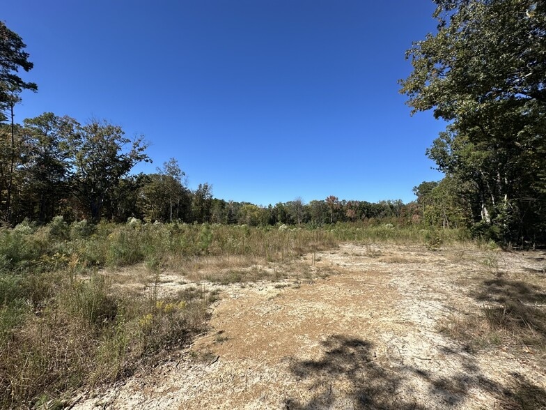
Positioned just off Old Highway 64 in Lexington, North Carolina, this ±42.67-acre parcel offers a compelling opportunity for residential development in a growing Davidson County submarket. Zoned RA2, the site is ideally suited for single-family residential projects and benefits from direct access to public water infrastructure, streamlining entitlement and development timelines.
Located only 2.5 miles from Interstate 85, the property provides efficient regional connectivity to Winston-Salem, Greensboro, and Charlotte, making it attractive for commuters and developers seeking proximity to employment centers. The surrounding area features a mix of established neighborhoods, retail amenities, and natural attractions, including High Rock Lake just 14 miles away. Nearby conveniences such as Lowe’s and Food Lion are within a 5-mile radius, supporting future residential demand with accessible services. [Deaton- Yo...Sale Flyer]
The site’s dimensions—approximately 500 feet deep and 312 feet wide—offer flexibility for subdivision layouts, green space integration, and phased development. With a competitive asking price of $1,365,000, this parcel presents a rare chance to acquire scale in a market with rising housing demand and limited inventory. Whether for a builder, investor, or community developer, Deaton-Young Road delivers location, scale, and zoning alignment for residential growth.
Property Facts
| Sale Type | Investment or Owner User | Property Subtype | Commercial |
| No. Lots | 1 | Proposed Use | Unknown |
| Property Type | Land | Total Lot Size | 42.67 AC |
| Zoning | RA2 - Residential Agricultural | ||
| Sale Type | Investment or Owner User |
| No. Lots | 1 |
| Property Type | Land |
| Property Subtype | Commercial |
| Proposed Use | Unknown |
| Total Lot Size | 42.67 AC |
| Zoning | RA2 - Residential Agricultural |
1 Lot Available
Lot L34
| Price | $1,862,543 CAD | Lot Size | 42.67 AC |
| Price Per AC | $43,649.93 CAD |
| Price | $1,862,543 CAD |
| Price Per AC | $43,649.93 CAD |
| Lot Size | 42.67 AC |
The site’s dimensions, approximately 500 feet deep and 312 feet wide offer flexibility for subdivision layouts, green space integration, and phased development.
Description
Property is currently in the NC Forestry program, Forest was harvested in 2021 and replanted with the next harvest date expected in 2045. Property can be developed while in the forestry program. When the property size is decreased to a certain level it will not qualify for the forestry program,
1 of 5
Videos
Matterport 3D Exterior
Matterport 3D Tour
Photos
Street View
Street
Map
