Your email has been sent.
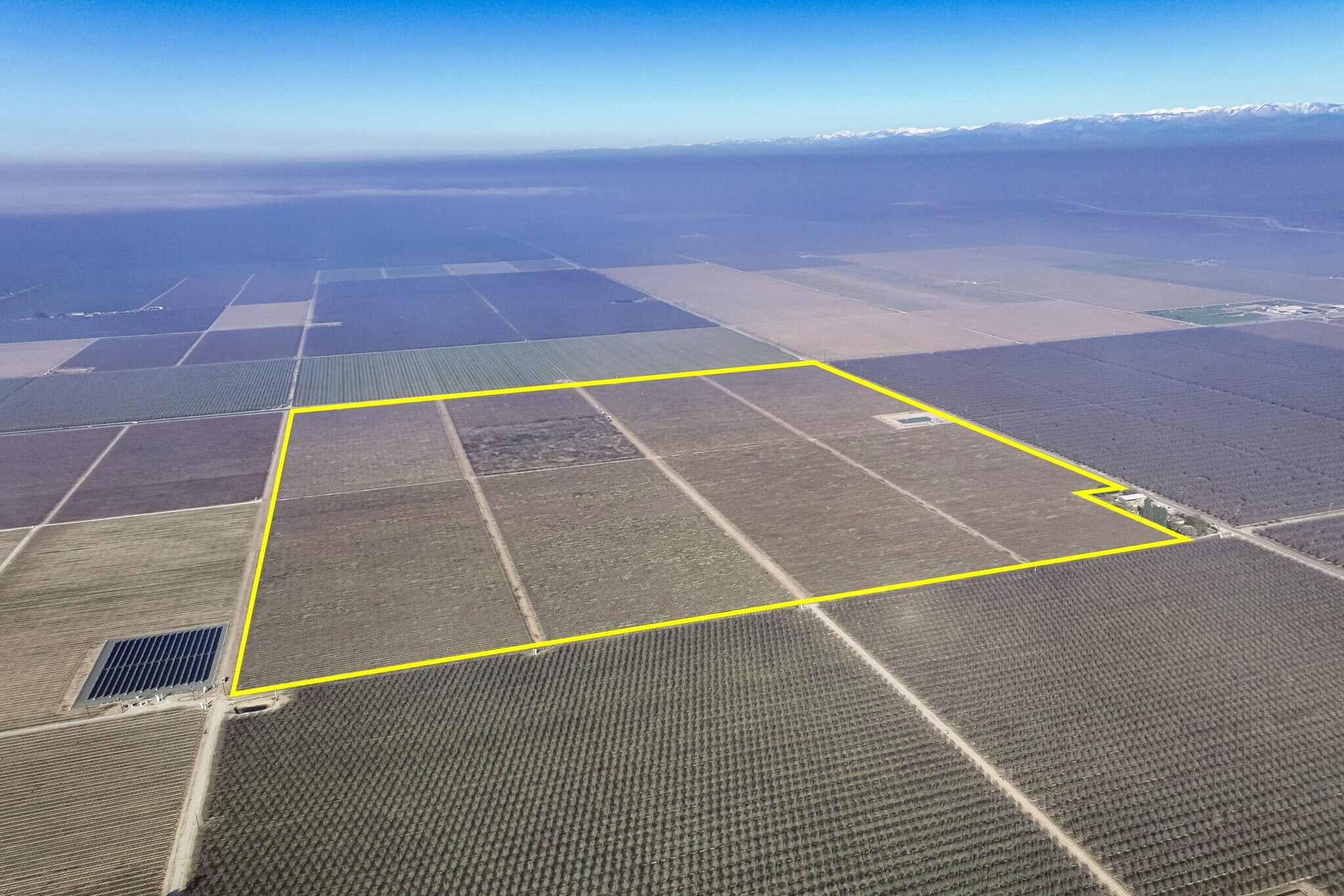
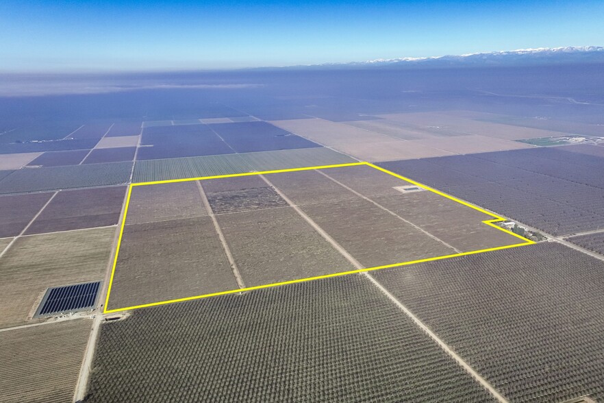
Avenue 56
Earlimart, CA 93219
+/-154.75 Ac. Vineyard · Land For Sale
·
154.75 AC
Investment Highlights
- Two source water - Delano-Earlimart Water District & 2 ag wells
Property Facts In Escrow
| Sale Type | Investment or Owner User | Proposed Use | Agricultural |
| No. Lots | 1 | Total Lot Size | 154.75 AC |
| Property Type | Land | Cross Streets | Road 176 |
| Property Subtype | Agricultural | Opportunity Zone |
Yes
|
| Sale Type | Investment or Owner User |
| No. Lots | 1 |
| Property Type | Land |
| Property Subtype | Agricultural |
| Proposed Use | Agricultural |
| Total Lot Size | 154.75 AC |
| Cross Streets | Road 176 |
| Opportunity Zone |
Yes |
1 Lot Available
Lot
| Price | $8,439,701 CAD | Lot Size | 154.75 AC |
| Price Per AC | $54,537.65 CAD |
| Price | $8,439,701 CAD |
| Price Per AC | $54,537.65 CAD |
| Lot Size | 154.75 AC |
Description
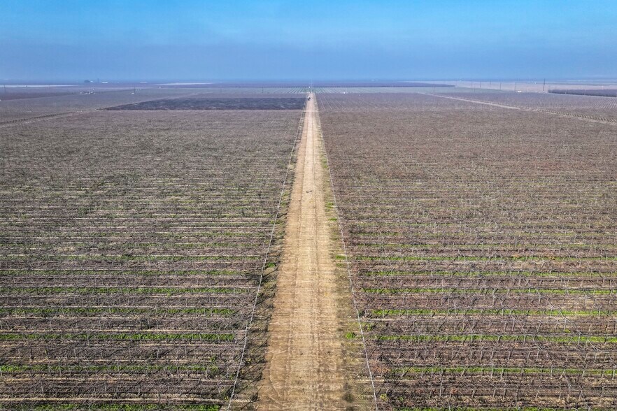
Location Property is located on the southwest corner of Sierra Avenue and Road 176 in Pixley, Tulare County, CA. Size +/-154.75 Assessed Acres Plantings Property is planted to the following table grape varieties: +/-53.55 Acres Scarlet Royal (Blocks 1-3) +/-18.52 Acres Allison (Block 4) +/-35.43 Acres Great Green (Blocks 5-6) +/-37.83 Acres Autumn King (Blocks 7-8) Water The property is located within the Delano–Earlimart Water District and is served by a district turnout. Water infrastructure includes a reservoir,two agricultural wells; Ag Well #1, rehabilitated in 2016 with a 75 HP motor, and Ag Well #2, drilled in 2017 and equipped with a 300 HP motor. Additional improvements include two (2) 50 HP booster pumps and nine (9) sand media filters. Soil See ‘Soil Map’ and ‘Soil Description’ for details. Legal Tulare County APN: 319-040-014 Groundwater Disclosure Sustainable Groundwater Management Act (SGMA) requires groundwater basins to be sustainable by 2040. SGMA may limit groundwater pumping. For more information, please visit the SGMA website athttps://water.ca.gov/programs/groundwater-management/sgma-groundwater-management. The Buyer is responsible for conducting their own research to verify all information related to groundwater and surface water resources, including availability, usage rights, and potential restrictions.