Your email has been sent.

Route 66 - 2 parcel listing TILP 239.42 Acres of Commercial Land Offered at $84,509 CAD in Valentine, AZ 86437
Investment Highlights
- Two-parcel assemblage totaling approximately 239.42 acres.
- Zoning allows for commercial or single-family residential development.
- Positioned in a rural setting with potential for future growth and development.
- Located near Route 66 between mile markers 78 and 79 in Valentine, Arizona.
- Accessible location with the nearest road within a quarter mile of the northwest boundary.
Executive Summary
The land benefits from its proximity to a historic travel corridor, providing access to regional destinations and scenic routes. The nearest road is within a quarter mile of the northwest section, offering practical accessibility for future development. This expansive acreage presents an opportunity for investors or developers seeking a large tract in Mohave County with flexible use potential and long-term growth prospects.
Property Facts
| Price | $84,509 CAD | Property Subtype | Commercial |
| Sale Type | Investment | Proposed Use | |
| No. Lots | 1 | Total Lot Size | 239.42 AC |
| Property Type | Land | ||
| Zoning | Vacant Land - NEC | ||
| Price | $84,509 CAD |
| Sale Type | Investment |
| No. Lots | 1 |
| Property Type | Land |
| Property Subtype | Commercial |
| Proposed Use | |
| Total Lot Size | 239.42 AC |
| Zoning | Vacant Land - NEC |
1 Lot Available
Lot
| Price | $84,509 CAD | Lot Size | 239.42 AC |
| Price Per AC | $352.98 CAD |
| Price | $84,509 CAD |
| Price Per AC | $352.98 CAD |
| Lot Size | 239.42 AC |
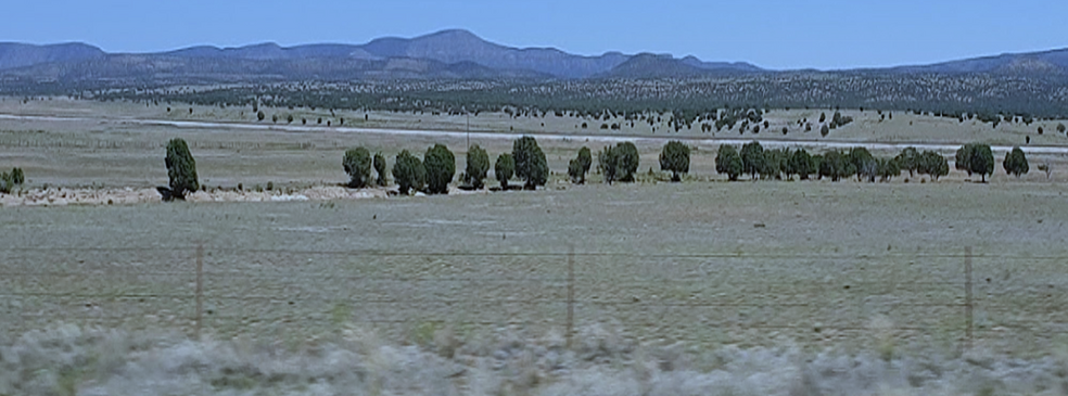
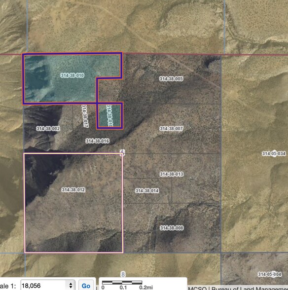
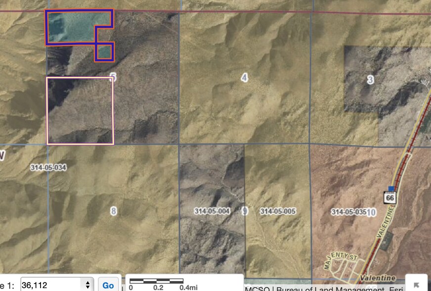
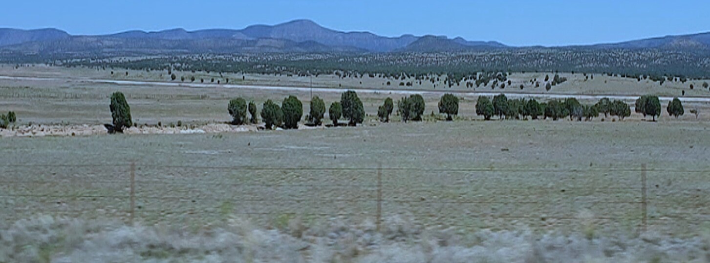
2 parcel listing. 160 acres & 79.42 acre parcels. Approx. 2 miles west of Valentine & 4 miles North of Route 66. Aligned between mile markers 78 & 79. The nearest road is within 1/4 mile of NW section. Google link:http://goo/gl/maps/TRsUh3H2As7j4qvp7
Description
This property comprises two contiguous land parcels totaling approximately 239.42 acres in Valentine, Arizona, situated near the iconic Route 66. The site lies between mile markers 78 and 79, about two miles west of Valentine and four miles north of Route 66, offering a unique location with historical and regional significance. Zoned as Vacant Land (NEC), the property is suitable for a variety of uses, including commercial development or single-family residential projects. The terrain is accessible, with the nearest road located within a quarter mile of the northwest section, providing practical entry points for future improvements. The expansive acreage and rural setting create opportunities for developers and investors seeking large-scale land holdings in Mohave County. Its proximity to a major travel corridor enhances connectivity to surrounding communities and regional attractions, making it a versatile site for long-term development strategies.


Property Taxes
| Parcel Numbers | Improvements Assessment | $0 CAD | |
| Land Assessment | $66,971 CAD | Total Assessment | $66,971 CAD |
Property Taxes

Presented by
Route 66 - 2 parcel listing TILP
Hmm, there seems to have been an error sending your message. Please try again.
Thanks! Your message was sent.