Votre courriel a été envoyé.
Johnstown Road & Central College Road - Five Points Gateway - New Albany, OH Lot • Terrain commercial • 11,9 Acres • New Albany, OH 43054

Certaines informations ont été traduites automatiquement.
Faits saillants de l'investissement
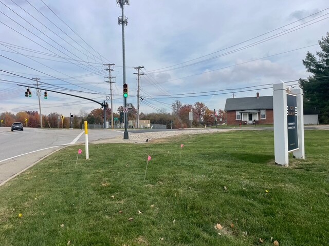
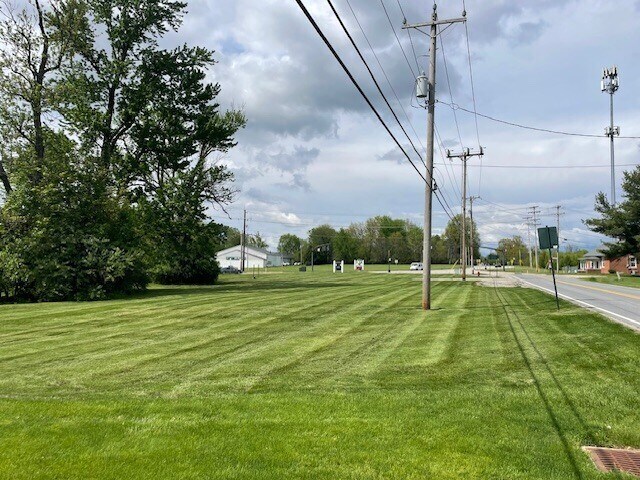
- Assemblage totaling 11.9 acres in New Albany’s Five Points Gateway corridor.
- Area targeted for future roadway, pedestrian, and streetscape improvements per the city’s Focus Area Plan.
- Multiple parcels create flexibility for phased redevelopment strategies or comprehensive mixed-use projects.
- Located near the major intersection of US-62 with ongoing infrastructure planning by the City of New Albany and ODOT.
- Within close proximity to residential neighborhoods, schools, and amenities in a high-growth submarket.
- Strong regional accessibility to Columbus and key transportation routes.
Résumé de l'annonce
Faits sur la propriété
1 Lot disponible
Lot
| Taille du lot | 11,90 AC |
| Taille du lot | 11,90 AC |
The property includes 11.9 acres across seven parcels located along Johnstown Road in New Albany, Ohio. Six parcels contain existing single-family dwellings. The land area is zoned residential with redevelopment opportunities under study by the City.
Description
There are 11.9 acres included in this 7-parcel assemblage, 6 of which have single-family homes currently occupied. Constraints surrounding the five-points intersection calls for the city to work proactively with ODOT to acquire sufficient right-of-way to ensure that improvements remain consistent with the character of New Albany and the surrounding unincorporated areas within Plain Township. While the city owns two parcels near the intersection, only one has immediate frontage along US-62. The other surrounding parcels are privately owned. Properties are currently zoned residential. The city has delineated this area as the 'Five Points Gateway' (see page 120 of the city's Focus Area Plan dated September 2025). Website detailed in Agent to Agent comments. The intersection is a major traffic node with safety and congestion challenges. Improvements require additional right-of-way (ROW) to accommodate roadway changes, pedestrian infrastructure, and streetscape enhancements. Without ROW acquisition, upgrades could be limited or inconsistent with New Albany's design standards. The city underscores how infrastructure planning, land ownership, and intergovernmental coordination intersect. It's not just about traffic—it's about shaping the identity and livability of New Albany's growth corridor.


Présenté par
Parker Realty Group
Johnstown Road & Central College Road - Five Points Gateway - New Albany, OH
Hmm, il semble y avoir eu une erreur lors de l’envoi de votre message. Veuillez réessayer.
Merci! Votre message a été envoyé.